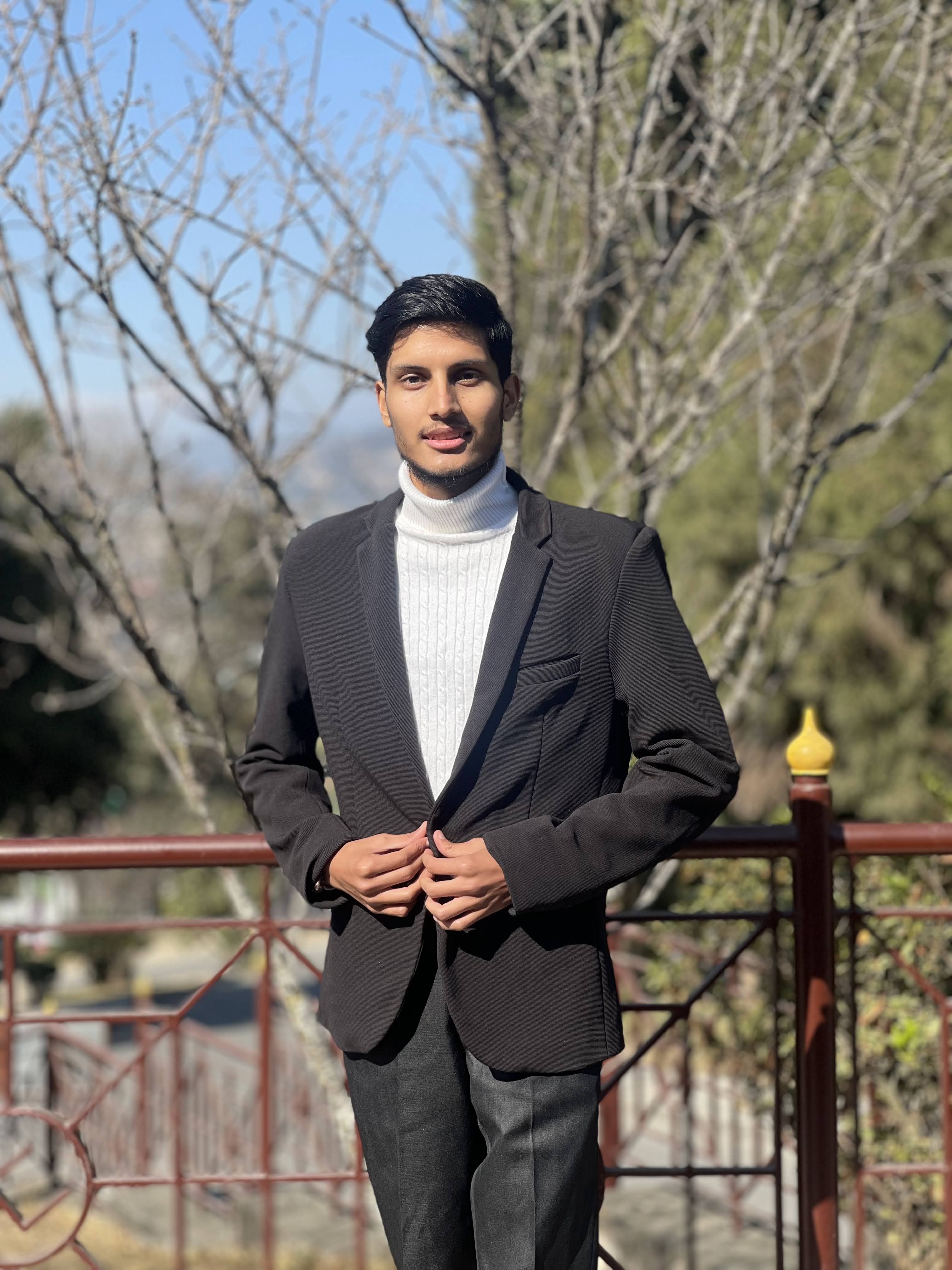
About memy stats
Information About me
I have strong expertise in Python, JavaScript, SQL and spatial database systems. Currently working as a WebGIS Backend Developer at NAXA Pvt. Ltd. with hands-on experience in the VICTORY, Khaderi, and Open Data Portal projects.
As a contributor and validator with the Humanitarian OpenStreetMap Team (HOT), I’ve validated 14,000+ tiles and coordinated mentorship programs. My work focuses on spatial data analysis, field surveys, open data, and GIS-based decision support tools.
10+
Trainings
Provided
14000+
OSM
Validation
500+
OSM
Projects
6+
Completed
Projects
My Skills
My Timeline
Apr 2024 - Aug 2025
WebGIS Backend Developer - NAXA Pvt. Ltd.
Working on the VICTORY project, Khaderi drought alert system, Digital Metric House Numbering System (DMaps) and Open Data Portal for Changunarayan Municipality.
Jun 2024 - Present
Mentorship Coordinator - HOT Community WG
Leading communications and coordination of global open mapping mentorship programs.
Dec 2023 - Present
HOT Global Validator - HOT
Validated over 14,000+ tiles, ensuring data quality for global humanitarian mapping efforts.
Jan 2024 - Jun 2024
HOT Guru Fellowship - HOT
Worked as a Data Quality Validator using JOSM, OSMCha, MapRoulette, and Mapillary tools.
Oct 2022 - Dec 2022
HOT Data Quality Intern - HOT
Participated in a 3-month internship to enhance validation skills with mobile mapping tools.
My PortfolioMy Work
Some of the learings and skills that best describes me are here.


My BlogsMy Blogs
Research Articles

Multiphase Study on Wheat Genotypes (FIG Publication)
Use of multispectral UAV imagery in precision agriculture to evaluate wheat genotypes in Nepal.
Spatio-Temporal Analysis of Air Pollutants (LMTC Publication)
An analytical study of air quality changes over Kathmandu before, during, and after the COVID-19 outbreak.
Other Articles & Blogs

Mapping My Way to Inspiration: Reflections from SotM Asia 2024
Insights and experiences from attending the State of the Map Asia 2024 conference, focusing on open mapping and community engagement.
Open Mapping Guru Fellowship Journey
A comprehensive overview of my journey as a HOT Guru Fellow, focusing on open mapping and humanitarian efforts.
Open Mapping Journey & Validation Learnings
Summary of validation internship and community contribution under HOT mentorship program.
Contact MeContact
Contact me here
Hello everyone, if you have anything to share you can fill up the form or send an email.
: Chabahil, Kathmandu, Nepal
: aarogya.pandey5@gmail.com
: Geomatics Engineer
: 9843929035
: Nepali, English, Spanish, Hindi